Nordic Wilderness Archive

The Glomma River: 621 Kilometres of Living Wilderness

From the sub-alpine highlands of Trøndelag down through dense boreal pine corridors and roaring cataracts to Fredrikstad on the Oslofjord, explore Norway's defining artery.

621 km Total River Length
42,000 km² Drainage Basin
698 m³/s Mean Estuary Discharge
The Glomma Dossiers

Five Dimensions of the Boreal Corridor

Structured survey data, hydrological records, and ecological fieldwork exploring Norway's primary river basin.

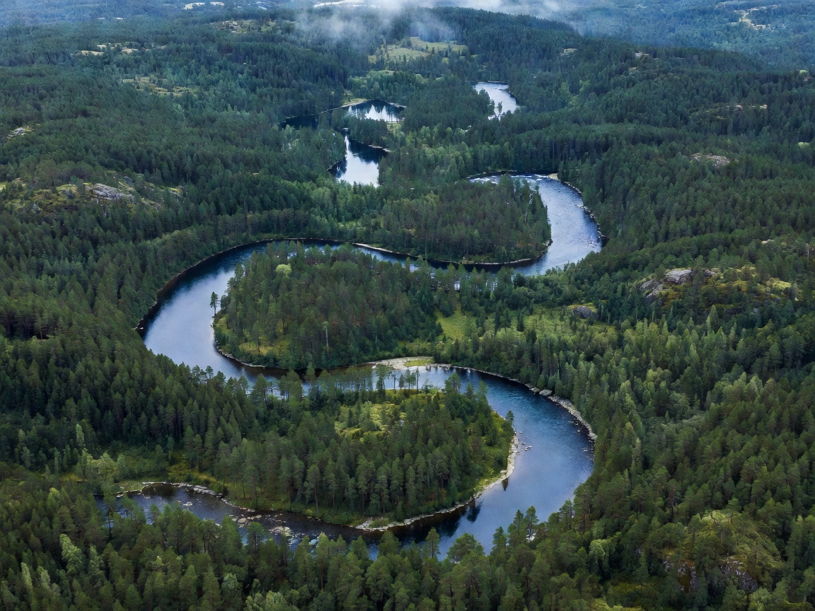
Aerial view of the winding Glomma river through the eastern Norwegian pine forests Hydrology & Topography
Dossier 01 Source to Oslofjord

River Route, Source, and Basin Architecture

Spanning approximately 621 km from Aursunden down to the North Sea outflow, Glomma drains roughly 11% of mainland Norway. Explore major confluences, elevation falls, and the Vorma join.
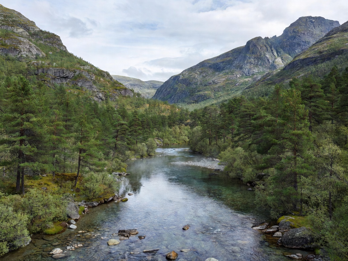
Glacial valley of Østerdalen featuring rugged pine-covered slopes and clear river water Geomorphology
Dossier 02 Valleys, Waterfalls & Lakes

Landscapes of Østerdalen and Glåmdalen

From steep glacial trenches carved into bedrock to the placid meanders of Lake Øyeren and thunderous falls at Sarpsfossen, examine the varied terrain along the route.

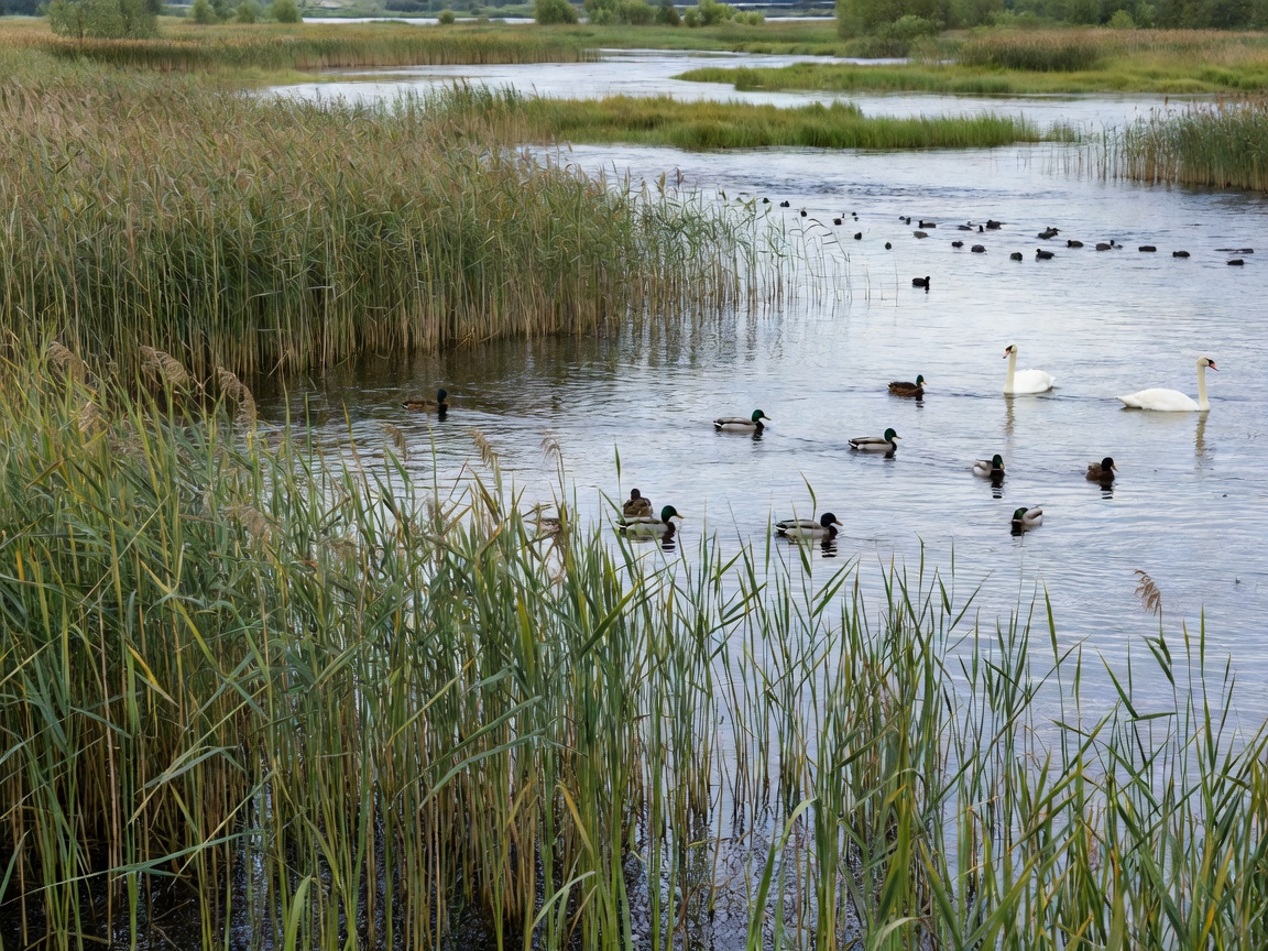
Wetland sanctuary on the Glomma river with waterfowl and dense shoreline reed beds Ecosystem Studies
Dossier 03 Flora & Freshwater Fauna

Native Fish, Avian Sanctuaries, and Boreal Forests

Home to grayling, trout, northern pike, and inland wetland habitats of international importance, Glomma provides migration highways across dynamic seasons.

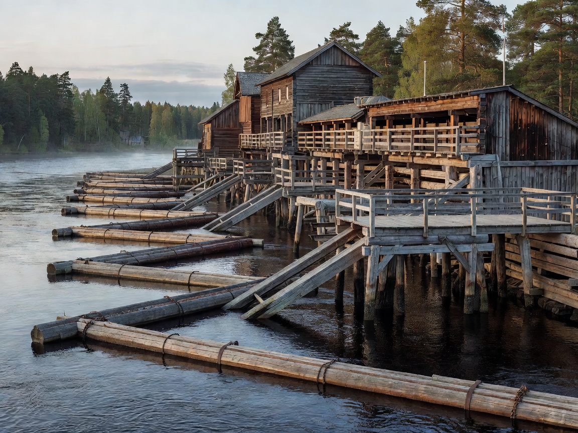
Historic wooden timber sorting works and booms preserved on the Glomma river Industrial Heritage
Dossier 04 Timber Floating & Hydro Power

Centuries of Timber Floating and Hydroelectric Power

For centuries, Glomma served as Norway's timber superhighway, transporting millions of logs annually to coastal sawmills, before pioneering modern clean hydroelectric generation.

Fly fisherman casting a line at dusk across the clear waters of upper Glomma Expeditions & Angling
Dossier 05 Field Operations

Field Guide: Angling, Hiking, and Riverside Expeditions

Practical guidance for travelers, fly fishers, canoeists, and landscape photographers navigating regional access points from Røros to the fortified fortress of Fredrikstad.

Hydrological Stewardship

The Lifeline of Eastern Norway

Glomma is not merely a watercourse; it is the geological and human spine of eastern Norway (Østlandet). Flowing through Innlandet, Akershus, and Østfold counties, it links alpine plateaus directly to marine fjords.

Its watershed sustains timber mills, agricultural deltas, freshwater municipal reservoirs, and critical European wetland stopping points for migratory waterfowl along the Baltic flyway.

Drainage Significance

Accounting for roughly 42,000 square kilometres, the Glomma catchment receives rain and snow melt from nearly an eighth of Norway's total mainland area.

The Vorma Confluence

At Nes in Akershus, the river absorbs Lake Mjøsa's discharge via the Vorma, dramatically swelling volume and altering water temperatures downriver.