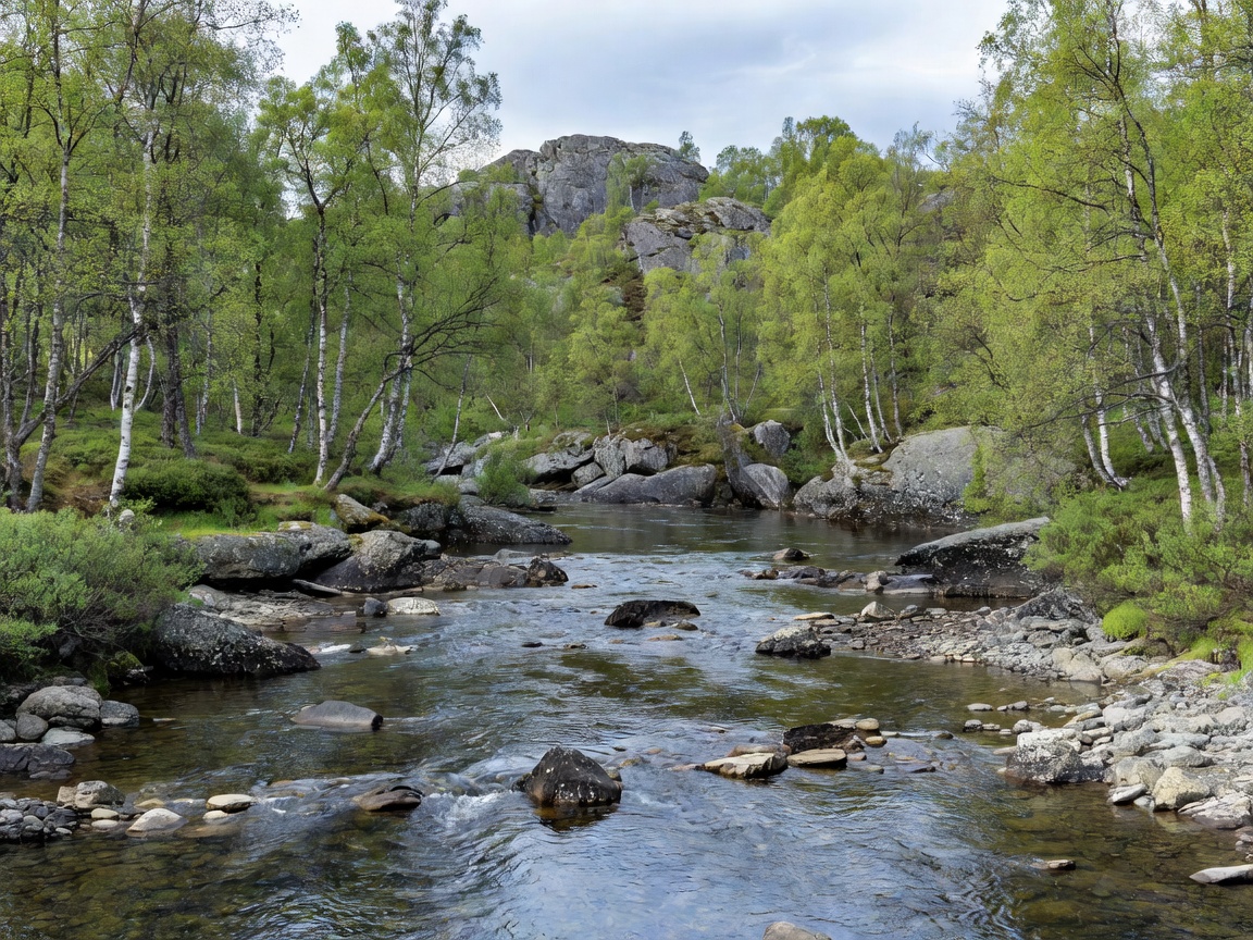
The Glomma begins in high sub-alpine territory near Lake Aursunden before cutting south through eastern Norway.
Geography and Geographic Extent
The Glomma (also spelled Glåma) is the longest and most voluminous river in Norway. Measuring approximately 621 kilometres from its headwaters down to its outflow into the outer Oslofjord, the watercourse traverses three modern administrative counties: Innlandet, Akershus, and Østfold. Its drainage basin encompasses roughly 42,000 square kilometres, representing approximately 11 percent of Norway's entire mainland landmass.
The river system acts as the master drainage corridor for the vast forested interior of eastern Norway. Because of its sheer length and the dramatic transitions in elevation along its path, the Glomma connects sub-arctic tundra zones, extensive taiga pine forests, broad agricultural plains, and complex coastal estuarine environments.
The Headwaters: Lake Aursunden and the Røros Plateau
The Glomma formally originates at the outflow of Lake Aursunden, located at an elevation of 690 metres above sea level near the historic mining town of Røros in Trøndelag. The primary tributary feeding Aursunden is the river Glåma, which itself springs from the high moorlands near the mountain of Rien. In this sub-alpine sector, the river flows through a cold continental climate characterized by sparse birch woods, boulder-strewn moraines, and prolonged winter freezing periods that frequently span from November through late April.
As the nascent river flows southwestward through Os and Tolga, the water is crystal-clear, turbulent, and moderately narrow. The gradient is relatively gentle across high plateaus, but sharp constriction zones produce spirited white-water runs and gravel riffles prized by cold-water fishery ecosystems.
 Confluence Data
The Vorma Merging Point at Årnes / Nes
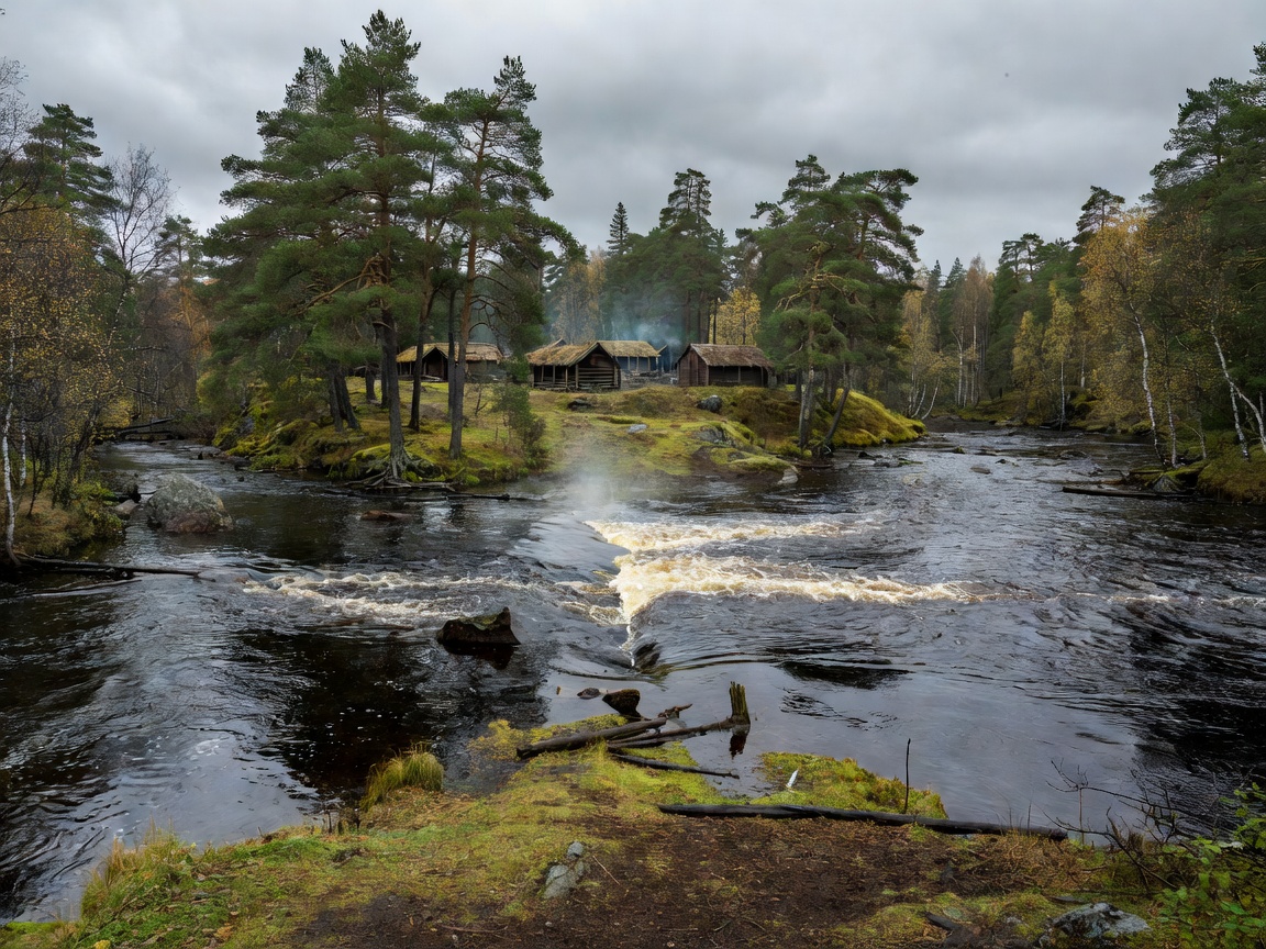
The confluence of Glomma and Vorma marks the single largest volumetric shift in the river's entire trajectory. The Vorma drains Lake Mjøsa (Norway's largest lake), contributing warm surface runoff and stabilizing total seasonal discharge.
Middle Reaches: The Østerdalen Corridor
Descending south through the sprawling valley of Østerdalen, the Glomma runs parallel to the Swedish border along a tectonic fault depression. Here, settlements such as Tynset, Alvdal, Rendalen, and Elverum developed along alluvial terraces. Major tributaries join the main stem, including the Folla, Atna, and Rena rivers. The Rena in particular adds enormous volume from Lake Storsjøen, substantially increasing river depth and navigation width.
Throughout Østerdalen, the river profile alternates between long, slow-moving stretches known locally as stille and steep drop-offs with boulder rapids. The river floor shifts from granite gravel in the upper zones to deep beds of sand and quaternary glacial silt in the lower valley.
Lower Basin and the Oslofjord Outflow
After receiving the Vorma, the Glomma takes a turn eastward toward Kongsvinger, where it performs an abrupt southwest dogleg dictated by bedrock ridges, flowing past Skarnes toward Lake Øyeren. Lake Øyeren operates as a giant natural settlement basin where the river drops its sediment cargo, forming Northern Europe's largest inland freshwater delta.
Exiting Lake Øyeren at Mørkfoss, the Glomma cuts through bedrock sills, creating immense waterfalls including Solbergfoss, Kykkelsrud, and the historic Sarpsfossen in Sarpsborg. At Sarpsfossen, the Glomma drops 21 metres with an average flow exceeding 570 m³/s, constituting one of Europe's most powerful cascades by discharge. Downstream from Sarpsborg, the river splits into two branches encircling Rolvsøy Island before emptying into the Oslofjord at Fredrikstad.
Comparative Basin Metrics
| River Section | Starting Elevation | Approx. Distance | Primary Character | Key Tributary |
|---|---|---|---|---|
| Upper Glomma | 690 m | 145 km | Sub-alpine, gravel rapids, cold-water trout zone | Folla |
| Middle Glomma | 250 m | 230 km | Broad boreal valley, sandy beds, pine forests | Rena |
| Vorma Merging Zone | 135 m | 95 km | Deep agrarian meanders, high water volume | Vorma (Lake Mjøsa) |
| Lower Glomma & Falls | 101 m | 151 km | Lake delta, massive bedrock cascades, estuary | Nitelva (via Øyeren) |
Hydrological Regime: Snowmelt and Autumn Spates
The annual hydrograph of the Glomma is governed by continental snowmelt cycles. From December to March, precipitation across the catchment is stored in the high mountain snowpack, dropping base flow to annual minimums (often under 200 m³/s at the lower reaches). Come May and June, rising temperatures trigger the vårflom (spring flood), swelling total discharge to peak rates exceeding 2,500 m³/s at Sarpsborg in heavy melt years.
Secondary spates occur in October and November when low-pressure North Atlantic weather systems push torrential autumn rainfall across southern Scandinavia. The construction of comprehensive reservoir dams and regulatory hydro gates throughout the 20th century has mitigated severe flood events while permanently altering natural silt distribution along the lower delta.